The Ministry of Tourism registry places Curug Malela in Kampung Manglid, Cicadas Village, Rongga District, West Bandung Regency. The Maps address differs at village and district level: Sindangjaya, Gununghalu. The catalogue follows the ministry registry for administrative context and West Bandung Regency as its parent; the pin follows the waterfall marker on Maps, not a surveyed gate or parking location.
Gemajabar, 23 May 2026, quotes the West Bandung tourism-agency head about reopening after a landslide closure lasting more than three weeks and repairs to access. This is a dated report, not confirmation of conditions on 7 October 2026. Gallery photographs predate those repairs. Hours, charges, accessibility, trail conditions and opening status had not been confirmed directly with the operator. Check before travelling, follow local instructions and closures, and keep out of moving water. Photos do not establish trail safety.
The AI reference of 4.5/5 follows 1,096 reviews on the Malela waterfall Google Maps listing, checked 7 October 2026 without rating filters. One 5-point aggregate is adopted unchanged without independent quality or access assessment. Not firsthand experience or a Floopel user rating; confidence was not calculated.
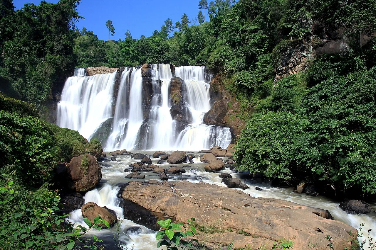
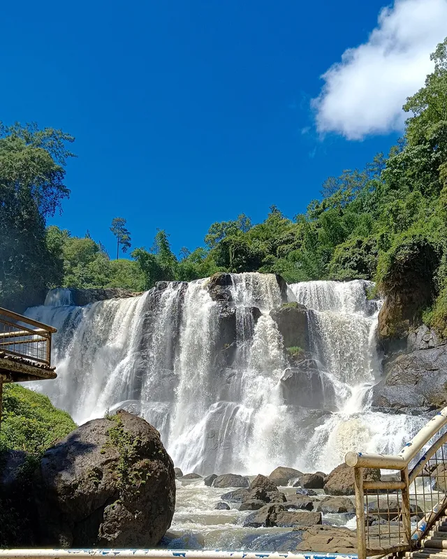
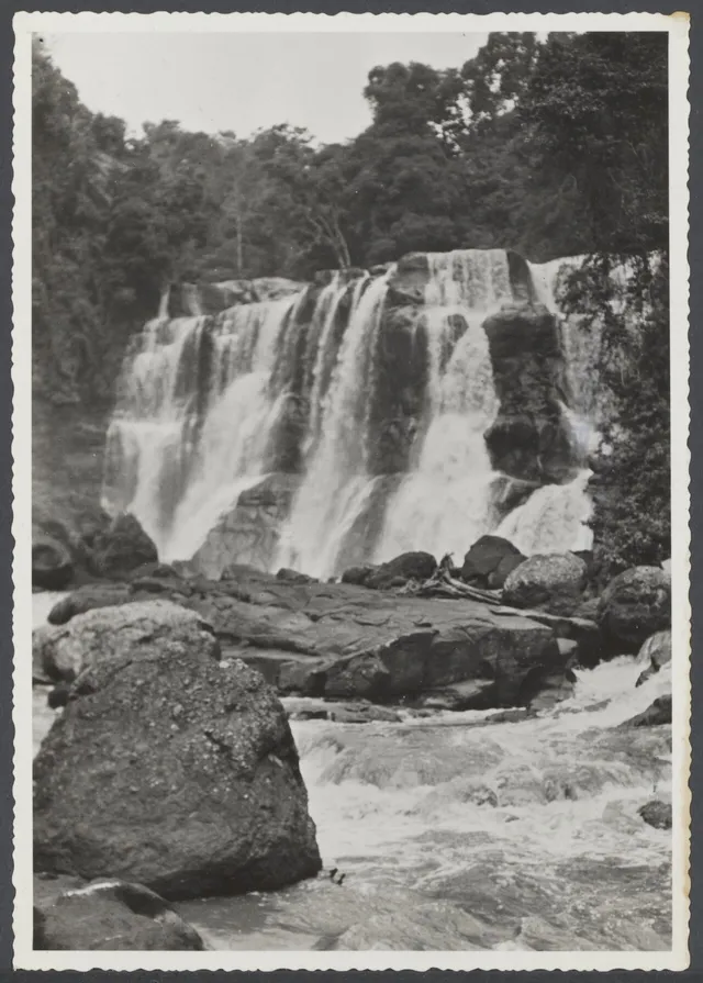
Wikimedia Commons 1280-pixel JPEG renditions downloaded unchanged by the Floopel editor; no manual crop, retouch or upscaling. The archival image is a JPEG rendition of the source TIFF. Public Floopel renditions may differ in dimensions and format. The 2014 and 2024 photographs and archival photograph do not establish present conditions, water flow, facilities or access.
Photo 1: Curug Malela.jpg — Eko ph; CC BY-SA 4.0. Source metadata records Canon EOS 60D, Adobe Photoshop CS6 Windows and capture on 4 June 2014 at 09:41:18. The June 2017 Commons upload is not the capture date.
Photo 2: Curug Malela, Bandung Barat.jpg — Priskamarsila29; CC BY-SA 4.0. Source date and EXIF record 8 February 2024 at 10:36:58. Camera model and editing software are not listed. The July 2026 Commons upload is not the capture date.
Photo 3: Waterval van de Tji Dodap bij Tjoeroeg Malela in de buurt van Gg Haloe bij Bandoeng, Bestanddeelnr 505061 005.tif — Travellers Official Information Bureau (Weltevreden-Batavia); CC0. Spaarnestad archival photograph, inventory 505061_005, identified in the source description as Tjoeroeg Malela. Original capture date unknown. Digitization metadata records Canon EOS 5D Mark II and Adobe Photoshop CS4 Windows, 5 December 2011 at 10:31; this is not the original capture date. The September 2024 Commons upload is not the capture date either. The original paper border is retained.


Join the conversation
Comments
Be the first to comment
No comments yet — share a tip or ask a question about this article.