
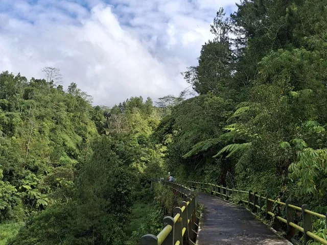
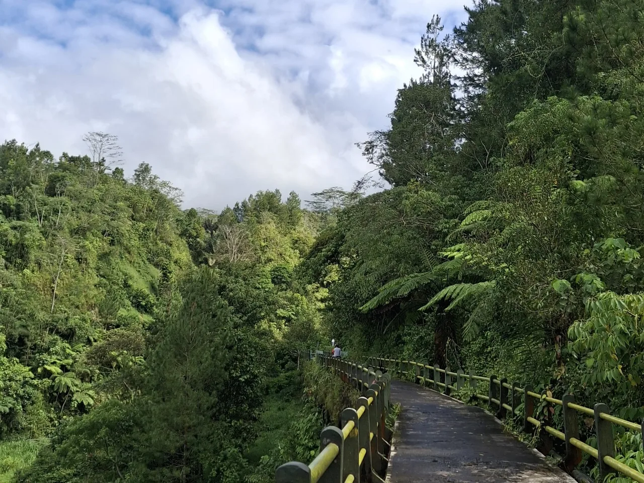
Plunyon bridge gives shape to the meeting of a walking route and the Kali Kuning valley. An April 2025 photograph shows the bridge among vegetation, without relying on Merapi's summit as a backdrop. Gunung Merapi National Park describes changes to the Kalikuning landscape after the 2010 eruption and the return of nature tourism. The area in Kedungsriti, Umbulharjo, Cangkringan invites attention to environmental recovery on an active volcano's slopes. This archive view remains distinct from access and restrictions in force on your visiting day.
NatureNature
Plunyon Kali Kuning
Kabupaten Sleman · DI Yogyakarta · Indonesia
Duration
—
Type
Nature
Local notes —
Before travelling, check Gunung Merapi National Park access announcements and the latest staff guidance concerning Merapi activity. Follow open visitor routes and boundaries; do not descend into the river valley or bypass closures. The pin represents the Plunyon listing rather than a surveyed entrance. This archive photograph does not guarantee that the area is open, safe or offers a visible summit.
Photo credits
Plunyon Kalikuning Bridge.jpg — Fandy Aprianto Rohman and Erlyndita Setyawardani; CC BY-SA 4.0. 2025-04-21; upload 2025-04-27 (uploaded by Sekar Kinanthi Kidung Wening). April 2025 archive photograph by Fandy Aprianto Rohman and Erlyndita Setyawardani; uploaded by Sekar Kinanthi Kidung Wening. Original2296 × 1722 bytes, no local edits. Earlier source processing, public variants, ShareAlike and ultimate rights remain unaudited.
On the map
Where it is

Read about this place
Stories & articles
No articles yet
There are no stories for this place yet. Explore Stories for more reading.
Keep exploring

Join the conversation
Comments
Be the first to comment
No comments yet — share a tip or ask a question about this article.