
Floopel
ExploreCollectionsStories
Search places, spots & collections
Sign in
Hero media
  1. Indonesia
  2. /Jawa Barat
  3. /Kota Bekasi
  4. /Stasiun Bekasi
  1. Indonesia
  2. /…
  3. /Stasiun Bekasi
HeritageHeritageHistoryPhotography

Stasiun Bekasi

Kota Bekasi · Jawa Barat · Indonesia

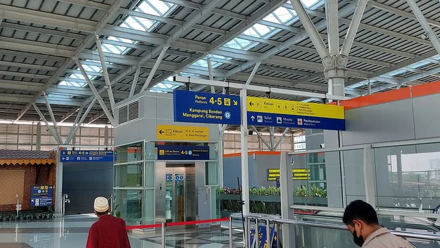
  • Lantai dua Stasiun Bekasi dengan petunjuk arah ke peron dan lift, Mei 2023. / Bekasi Station upper level with platform signs and a lift, May 2023.
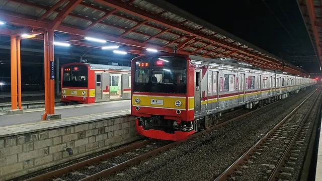
  • Dua rangkaian KRL berhenti di peron Stasiun Bekasi pada malam hari, Juni 2022. / Two commuter trains at Bekasi Station platforms at night, June 2022.

Duration

—

Type

Heritage

Local notes —

Line history: KAI Heritage. Report of the structure found during 2020 construction: Bekasi City Government. Public access to the underground structure has not been verified; do not enter restricted areas. The pin uses the station object point from Wikimedia Commons, not a surveyed entrance. Check current schedules and access rules with the operator; use public areas only.

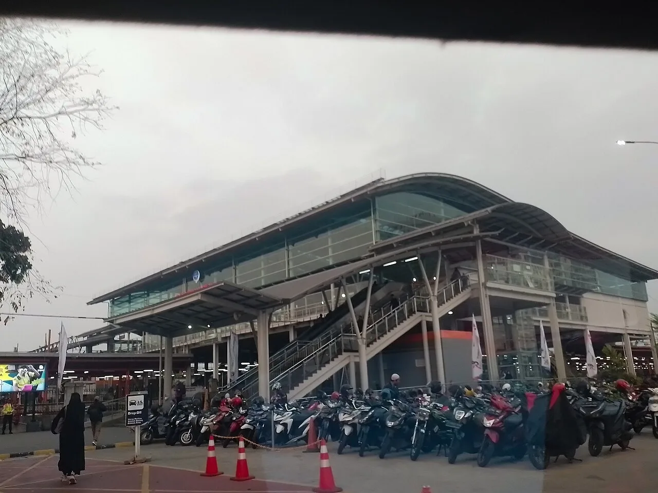
Cover: station exterior, RasyaAbhirama13, 30 September 2023, CC BY-SA 4.0. Gallery: upper level, Alif Mikail, 9 May 2023, and two commuter trains at the platform, Ponyrail Official, 7 June 2022; both CC BY-SA 4.0. The 1280 pixel renditions were uploaded without manual edits. The cover source metadata records Adobe Lightroom processing. Cover and gallery use three distinct files.

Why it matters

Bekasi Station connects the older railway story with the city’s daily journeys. KAI records that the Batavia–Bekasi line opened on 31 March 1887 as the first stage of the route towards Karawang. Bekasi has since stood on a corridor linking Jakarta with areas to its east.

Not every trace of that past is visible from the platform. During station construction in 2020, the Bekasi City Government reported an underground brick passage that required monitoring and study. A 2022 gallery photograph shows commuter trains at the platform; a 2023 gallery photograph shows the upper level, while the 2023 cover shows the multistorey exterior. Each image records its own date, without guaranteeing the same conditions today. Observe the public spaces as part of a changing transport hub while keeping passenger movement clear.

On the map

Where it is

© OpenStreetMap contributorsOpen in maps
Read about this place

Stories & articles

All stories

No articles yet

There are no stories for this place yet. Explore Stories for more reading.

Floopel

Discover why a place matters.

Discover places, explore local culture and stories, and plan your journey. Floopel is growing to connect people through meaningful travel experiences.

Discover

  • Explore
  • Collections
  • For You

Read

  • Stories
  • Editorial
  • News

Floopel

  • About
  • Terms
  • Privacy
© 2026 Floopel
TermsPrivacy
Report information

Join the conversation

Comments

Be the first to comment

No comments yet — share a tip or ask a question about this article.