Check the latest visit restrictions: the Geological Agency report published on 27 September 2026 documents volcanic gas release at Kawah Manuk near the hiking route and the direction of the camping area. Its recommendations prohibit activities and overnight stays within 500 metres of active crater openings at Kawah Baru, Kawah Emas, Kawah Nangklak and Kawah Manuk/Balagadama, and during cloudy or rainy weather. This catalogue does not encourage approaching blue fire or guarantee that trails or campsites can be used. Check Geological Agency updates and follow the operator's boundaries and directions on your visit date; an activity level in a dated report is not treated as a present safety guarantee.
The KSDAE nature recreation park list and KSDAE publication of 6 July 2017 were read on 8 October 2026. The 2017 publication supports identity and landscape rather than current facilities or access. Current visitor requirements remain unverified.
Check visitor status, permitted routes, weather conditions, fees, service hours and reservation requirements with the operator or BBKSDA Jawa Barat before travelling. This catalogue does not recommend entering the strict nature reserve or routes beyond the nature recreation park. Gallery images document different source dates rather than today’s conditions; the aerial photograph does not establish walking routes or parking locations.
The AI reference of 4.8/5 follows 2,277 reviews on the main Taman Wisata Alam Gunung Papandayan Google Maps listing, checked 8 October 2026 without rating filters. One 5-point aggregate is adopted unchanged without independent quality or access assessment. Not firsthand experience or a Floopel user rating; confidence was not calculated. The pin follows the object marker, not a surveyed entrance or parking location.
Wikimedia Commons photographic renditions downloaded unchanged by the Floopel editor; no manual crop, retouch or upscaling. Public Floopel renditions may differ in dimensions and format. Photographs document their source dates, not present conditions or access.
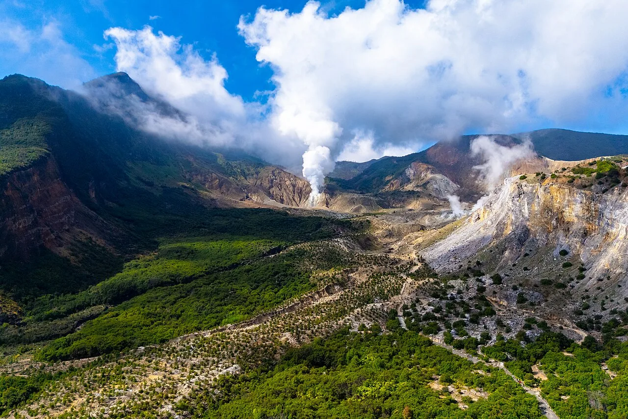
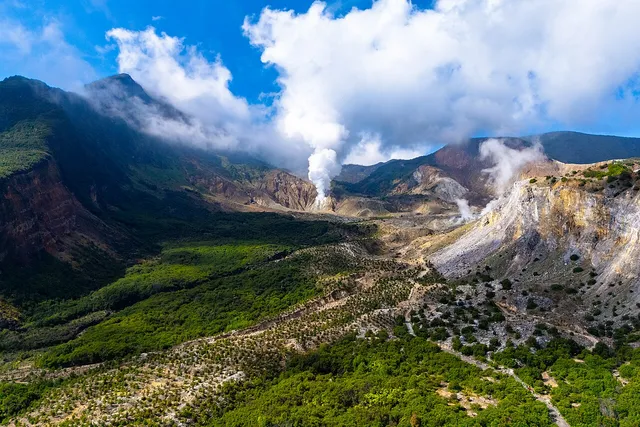
Photo 1: Keindahan Gunung Papandayan.jpg — Dadi Hernada12; CC BY-SA 4.0. The source page records 18 February 2024 at 09:49:26. EXIF records DJI FC8282 and Adobe Lightroom 10.3.1 (Android); earlier editing operations are not specified. Upload on 30 July 2025 differs from the capture date. This is an aerial perspective rather than a visitor-route view.
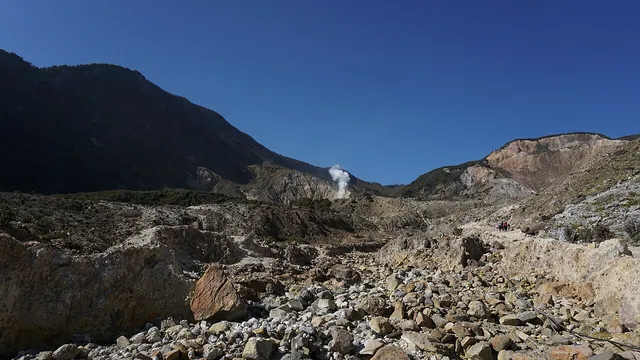
Photo 2: Collapsed Sector of Papandayan Volcano 4.jpg — Gamma Abdul-Jabbar; CC BY-SA 4.0. The source page records 5 October 2019 at 07:59:51. EXIF identifies SONY ILCE-6000 and software ILCE-6000 v3.20; earlier processing operations are unverified. Upload on 14 January 2021 differs from capture. An archive photograph rather than current conditions or proof of access.
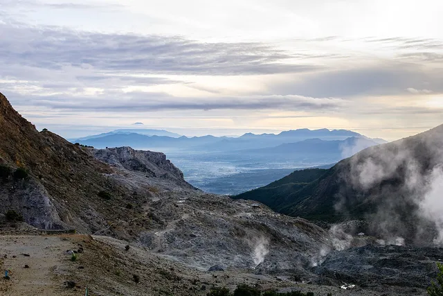
Photo 3: View of Mount Papandayan.jpg — Yanson Ferdinand Kurniadi; CC BY 4.0. The source page records 25 January 2025 at 06:15:51. EXIF records SONY ILCE-6000 and Adobe Lightroom 10.4.3 (Android); earlier editing operations are not specified. Upload on 15 July 2025 differs from capture. Source captions support photo identity rather than assumed current conditions or access.


Join the conversation
Comments
Be the first to comment
No comments yet — share a tip or ask a question about this article.