The Sumedang government identifies Jatigede as a lakeside tourism area. Development proposals on that page do not establish that all facilities already exist. The pin follows the Waduk Jatigede listing in Cijeungjing, Jatigede District, Sumedang Regency; it is neither a parking location nor permission to enter dam structures.
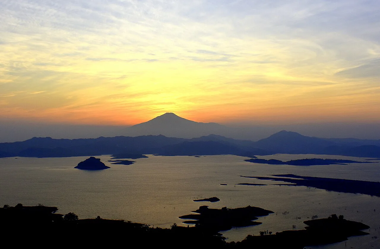
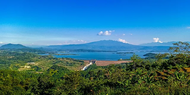
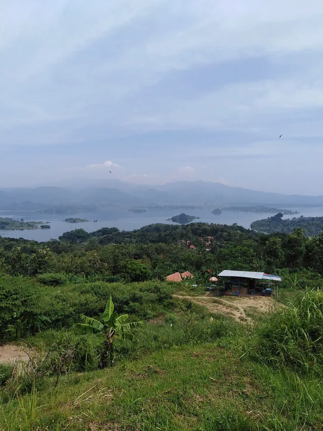
A BBWS Cimanuk Cisanggarung report dated 28 July 2026 describes water-level monitoring and reservoir operations for irrigation. Water and shoreline appearances can change. The three photographs document 2019, 2021 and 2023 from different viewpoints, rather than today’s water conditions. The photograph from Puncak Pareugreug is not a hiking-route recommendation. Before travelling, confirm permitted viewing areas and follow local instructions. This catalogue does not promise access to every shoreline, swimming, boat trips or entry into dam facilities.
The AI reference of 4.7/5 follows 141 reviews on the main Waduk Jatigede Google Maps listing, checked 7 October 2026 without rating filters. One 5-point aggregate is adopted unchanged without independent quality or access assessment. Not firsthand experience or a Floopel user rating; confidence was not calculated. The pin follows the object marker, not a surveyed entrance or parking location.
Wikimedia Commons 1280-pixel renditions downloaded unchanged by the Floopel editor; no manual crop, retouch or upscaling. Public Floopel renditions may differ in dimensions and format. Photographs document their source dates, not present conditions or access.
Photo 1: WADUK JATIGEDE SUMEDANG.jpg — RACHMAT DARMAWAN; CC BY 4.0. Captured 1 October 2023 at 05:42:27 with Nikon D3400, software Ver.1.10. Commons credits RACHMAT DARMAWAN; EXIF Author says Picasa, without enough information to identify an editor. The July 2025 upload is not the capture date.
Photo 2: Bendungan Jatigede dari Puncak Pareugreug.jpg — Erlanristianto18octo; CC BY-SA 4.0. Captured 20 April 2021 at 16:06 with Samsung SM-A107F. Source metadata lists Adobe Lightroom 6.2.1 on Android; source colour processing is retained. The viewpoint name does not establish current hiking access.
Photo 3: Bendungan jatigede.jpg — Saminwikiped; CC BY-SA 4.0. Captured 14 May 2019 at 10:47:19 with Huawei ATU-L22, software ATU-L22 8.0.0.154(C636). The photograph’s coordinates are elsewhere within the reservoir area rather than exactly at the catalogue pin. This older image does not establish present shoreline conditions.


Join the conversation
Comments
Be the first to comment
No comments yet — share a tip or ask a question about this article.